
Geologic Map of the Antelope Range Quadrangle, Sevier and Piute Counties, Utah, Map 106
Utah Geological and Mineral Survey, 1984. tan printed envelope, 3 large foldout maps, 1:24,000, booklet 14 pages, name written top right hand corner. DK4. More
Utah Geological and Mineral Survey, 1984. tan printed envelope, 3 large foldout maps, 1:24,000, booklet 14 pages, name written top right hand corner. DK4. More

Reston, VA: U.S. Geological Survey, 1976. tan envelope, 1 foldout map. map scale 1:48,000 DM4. More
Washington, D. C. United States Government Printing Office, 1988. burgundy boards, foldout inside rear cover, binding very good, pages clean, sharp corner. The USBM (U.S. Bureau of Mines) and the USGS (U.S. Geological Survey) assessed the identified mineral resources (known) and the mineral resource potential (undiscovered) of the pryor Mountain..... More
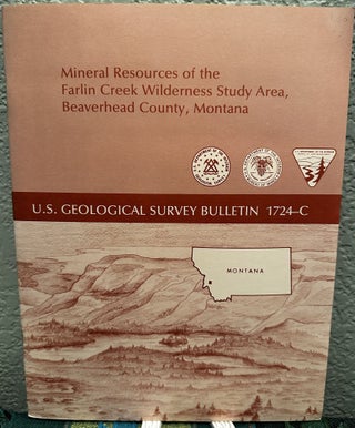
Washington, D. C. USGS, 1987. First Edition. Paperback. Unmarked. Folded plate in rear pocket. ; Book Description; Spine has staples. Pages are clean and not marred by notes or folds. Covers are square with wear as noted. Ships Safe and Fast. ; U. S. Geological Survey Bulletin; Vol. 1724C; B&W..... More
U.S. Geological Survey, 1976. tan envelope, 1 foldout. map scale 1:250,000 DM4. More